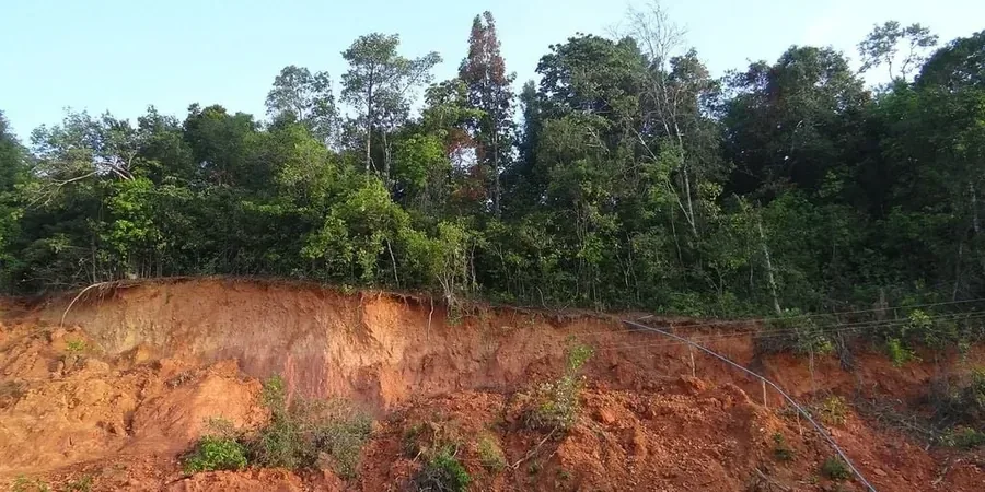
Sydney's geology, dominated by Hawkesbury Sandstone and Ashfield Shale over much of the metropolitan area, creates complex conditions for slope stability. The region's coastal escarpments and incised valleys, combined with annual rainfall averaging 1,200 mm, demand rigorous landslide assessment. We start every evaluation with a detailed desk study of existing borehole logs and aerial imagery, then move to targeted field investigation. For sites with shallow bedrock, we integrate calicatas exploratorias to expose stratigraphy directly, while in deeper colluvial deposits we use continuous sampling to identify potential failure planes. Our team records groundwater levels, joint orientations in rock masses, and any signs of past movement such as tension cracks or tilted trees. This data feeds directly into limit equilibrium models that quantify the factor of safety under both static and seismic conditions.
Continuous monitoring with inclinometers and piezometers reveals movement trends long before surface cracking appears, enabling early intervention.